Understanding Hyperspectral Imaging
Hyperspectral imaging is revolutionizing how satellites study the Earth and space. This advanced satellite camera technology captures hundreds of ultra-narrow color bands, beyond the typical red, green, and blue channels used by regular satellite sensors.
Beyond Traditional Satellite Sensors
In simple terms, while normal satellites show what things look like, a hyperspectral satellite reveals what things are made of, offering much deeper insights into the Earth’s surface and environment. Traditional panchromatic and multispectral satellites have only 4–20 spectral bands, which are not sufficient to precisely distinguish different materials. In contrast, hyperspectral satellites provide hundreds of narrow bands, allowing objects on Earth to be spectrally identified and mapped with far greater accuracy and efficiency.
How Hyperspectral Satellites Work
This breakthrough allows scientists to detect minute differences in light that the human eye or standard cameras simply cannot see. As a result, hyperspectral satellite imaging enables:- Precise identification of materials and land cover types
- Accurate vegetation health monitoring for agriculture
- Mineral exploration and resource mapping
- Pollution detection and environmental monitoring
A Milestone in Pakistan’s Space Program
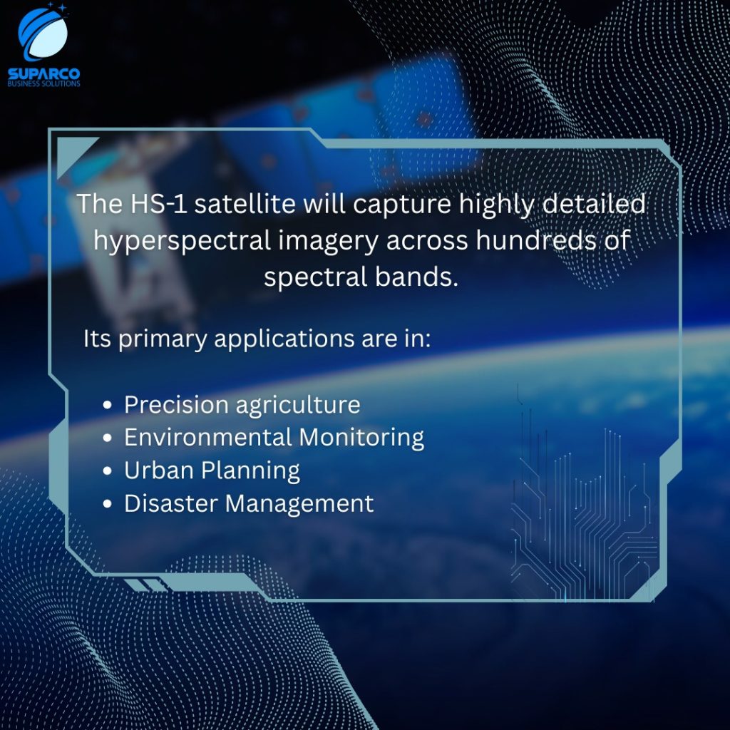
In Pakistan, the Space and Upper Atmosphere Research Commission (SUPARCO) has taken a major step forward with the launch plan of its hyperspectral imaging satellite. According to SUPARCO, this “landmark mission represents a transformative milestone in Pakistan’s national space programme, propelling the country into a new era of advanced space-based applications in agriculture, disaster management, urban development, and environmental monitoring.”
Advancing Earth Observation and National Development
With this mission, Pakistan enters the global stage of space-based Earth observation and remote sensing innovation, supporting smarter decision-making in agriculture, urban planning, disaster response, and climate resilience. As hyperspectral imaging continues to advance, it promises to unlock a deeper understanding of our natural resources, turning data into actionable insights for a more sustainable and informed future.
Launch of Pakistan’s First Hyperspectral Satellite
Launch of the first hyperspectral satellite by SUPARCO is set for 19 October 2025.