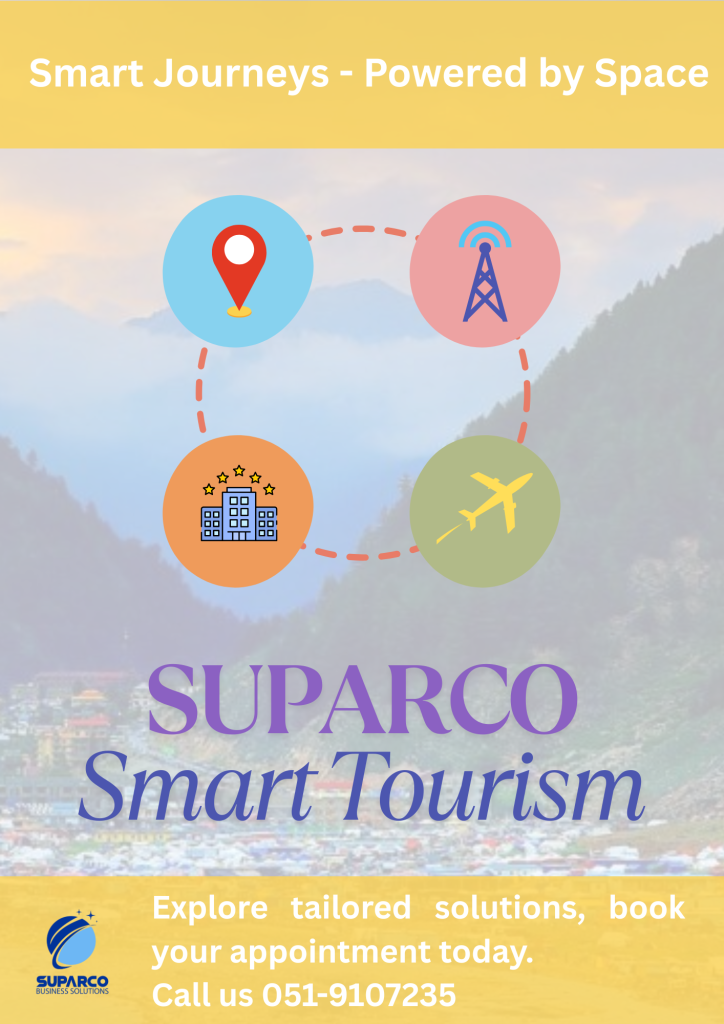
Pakistan’s tourism industry is entering a new era of innovation, and at the heart of this transformation lies SUPARCO’s Geographic Information System (GIS) technologies. From protecting cultural landmarks to enabling sustainable infrastructure development, SUPARCO is leveraging satellite imagery and spatial data to empower smarter tourism decisions.
Geospatial Technology for Heritage and Religious Tourism
One groundbreaking initiative is the collaboration between SUPARCO and the Evacuee Trust Property Board (ETPB) to geotag and monitor religious heritage sites, including gurdwaras and temples. By digitally mapping these landmarks, this project strengthens conservation efforts and supports religious tourism through improved site management and accessibility.
Satellite Imagery for Sustainable Infrastructure Development
SUPARCO’s high-resolution satellite imagery plays a crucial role in planning and overseeing tourism infrastructure. This ensures that development projects are strategically located, environmentally sustainable, and efficiently executed. From roads to hospitality facilities, accurate geospatial data helps minimize environmental impact while maximizing economic return.
Future Opportunities for Smart Tourism
Looking ahead, SUPARCO’s GIS capabilities offer even greater potential:
Mapping tourism circuits for better navigation and experience.
Identifying untapped attractions using spatial insights.
Supporting targeted marketing through demographic and geographic data.
Assessing environmental impact to align with sustainable tourism goals.
These applications can significantly boost the visibility of remote areas, enhance accessibility, and ensure responsible tourism development.
Disaster Risk Management and Urban Planning
GIS also plays a pivotal role in disaster preparedness and risk assessment for tourist regions. In collaboration with the Capital Development Authority (CDA), SUPARCO is helping establish a Geo-Spatial Technology Wing in Islamabad. This initiative supports advanced urban planning and resource management—indirectly benefiting tourism by making cities safer, cleaner, and more navigable for both residents and visitors.
Conclusion: A Data-Driven Future for Tourism in Pakistan
SUPARCO is leading the integration of GIS into Pakistan’s tourism framework. Whether it’s preserving cultural landmarks, supporting infrastructure, or guiding smart development, geospatial technology is a powerful enabler. As the tourism sector continues to grow, SUPARCO’s role will be vital in ensuring a data-driven, sustainable, and globally competitive tourism landscape.